Research Area
Research Lines
Activities
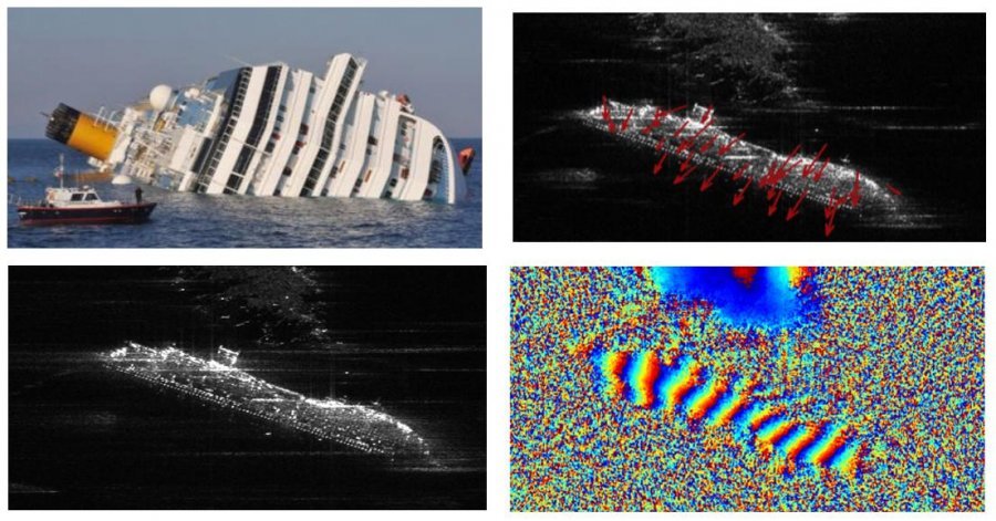
GEOSAR labs develop advanced remote sensing techniques for sounding the earth with acoustic radars, electromagnetic radars and sonars. Geophysical data processing produces images of the subsurface bodies, for oil exploration, non destructive analysis of man made constructions, location of buried objects, passive monitoring of seismic sources, identification of geological boundaries. Such long experience in geophysical processing, has been applied in the last 20 years in the exploitation of spaceborne and ground based Synthetic Aperture Radars. GEOSAR labs work in leading SARs applications, like the generation of high resolution microwave images, the monitoring of ground deformations, landslides and subsidences, the design of new modes for the next generation of spaceborne and airborne SARs.
Service information
The laboratory is located at DEIB department.