Research Area:
Responsible:
Research Lines:
Project abstract
GIS NATURE is a geographic information system incorporating, under one system, the Italian fauna, flora and fungi checklists, the fauna and flora distribution databases, the existing data on marine biocoenoses, the distribution models of Italian vertebrates (REN), the distribution of priority habitats according to the Habitats Directive, the vegetation series (Corine Land Cover level 4), the phytoclimatic, ecopedological and landscape maps, the administrative cartography, the boundaries of parks and protected areas (including Special Protection Areas and Sites of Community Importance). The project is over.
Project results
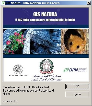
GIS Nature is a versatile tool which is useful not only for managing biodiversity conservation and planning ecological networks, but also for basic and applied research in the fields of ecology and biogeography. It can be used for environmental impact analysis and assessment. The GIS can be updated and new information can be easily added. In the near furure we envisage the addition of new databases and the continuous update of existing databases via internet. The system will be integrated with other cartographic systems at the regional level thus allowing the local administrations to manage and keep the biodiversity and plan the land use at the same time. GIS Nature has been made available on a DVD-ROM (see pics 1 and 2) to local administrations via the Ministry of Environment and Land Planning. The product has been presented at the 66th meeting of the Italian Zoological Union, Rome, September 19, 2005.