
One of the most important applications of radar remote sensing is the accurate measurement of terrain deformation and the displacement of man-made structures. Today, these measurements are performed using different types of radar systems, including real-aperture radars installed on ground-based platforms and synthetic aperture radars (SAR) operated from airborne platforms such as airplanes and satellites.
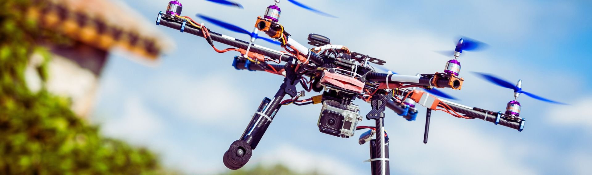
The URANUS project introduces a ground-breaking and original approach to this field. Coordinated by Prof. Stefano Tebaldini from the Department of Electronics, Information and Bioengineering - Politecnico di Milano and funded by the Italian Applied Sciences Fund, URANUS is based on the use of a formation of unmanned aerial vehicles (UAVs) to create a network of collaborative radars. Each UAV will operate simultaneously as both transmitter and receiver, forming a distributed Multistatic Multiple-Input Multiple-Output (MIMO) radar system.
Thanks to this configuration, a small group of drones can generate a large number of radar images of the same area, observing the same targets simultaneously from multiple viewing geometries. This represents a major leap forward compared to conventional ground-based, airborne, and spaceborne radar systems.
The URANUS approach offers several key advantages: highly accurate retrieval of deformations in all three spatial dimensions, significantly improved rejection of atmospheric disturbances, and enhanced spatial resolution. These features make it possible to achieve sub-meter accuracy over areas extending across several square kilometres.
As a result, URANUS is expected to deliver unprecedented performance in all scenarios where precise deformation measurements are critical. The project has the potential to transform the deformation and displacement monitoring market, with particularly strong impact in applications such as mining early warning systems, geotechnical and civil engineering, infrastructure monitoring, and natural disaster prevention.
Stefano Tebaldini, Ph.D., received his Master’s degree in Telecommunications Engineering and his Ph.D. from Politecnico di Milano in 2005 and 2009, respectively. Since 2018, he has been an Associate Professor at the Department of Electronics, Information and Bioengineering -Politecnico di Milano. He currently teaches the courses Inverse Problems and Remote Sensing at both the Bachelor’s and Master’s degree levels at Politecnico di Milano.
His research activities include the processing of spaceborne, airborne, automotive, and ground-based Synthetic Aperture Radar (SAR) data; multistatic and distributed radar processing; system calibration; accurate platform localization; synchronization recovery; and ionospheric correction. He is the author of more than 50 papers published in peer-reviewed international scientific journals.
He has been involved in more than 20 studies funded by the European Space Agency (ESA), focusing on experimental campaigns, data analysis, algorithm development, and the definition of operational software. Since 2016, he has been a member of the BIOMASS MAG, and he is currently the scientific coordinator of the BIOMASS DISC.